Whareroa Farm
Mackays Crossing exit, SH1, 3.5km north of Paekākāriki
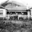
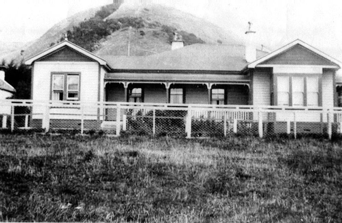
When the Crown purchased the land in 1858, iwi were living and cultivating land east of the Whareroa swamp. Alexander MacKay and his family settled the land in 1859.The family farmed the land until it was sold by their youngest son, Arthur in 1936. His brother William died intestate and his farm share passed to the Public Trust and to the Wellington Hospital Board.
In May 1942 the Government claimed all the land for defence purposes During WW2. Regiments of the 1st and 2nd Marine divisions were based at Camp MacKay.
After WW2 the Land and Survey Department farmed the land as a recreational and educational farm. The farm passed to Land Corp in 1987 and the farm was closed to the public. Plans to subdivide the farm for private development in 1993 raised strong opposition.
The formation of the Guardians of the Whareroa farm in 1995 led to a community campaign which persuaded the Government to purchase the land in 2005 and transfer it to the Department of Conservation.
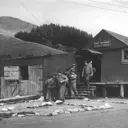
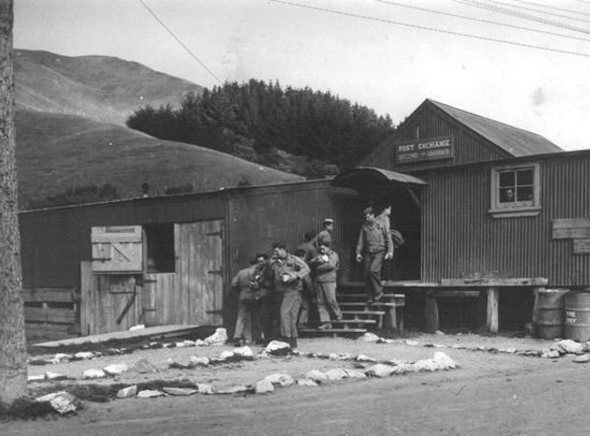
 The post exchange is the woolshed built when Arthur MacKay sold the Ramaroa farm to the Gooding Family in 1936. Pictured are some of the US Marines stationed nearby during World War II.
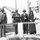
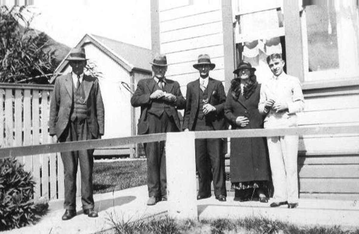
 The sale of the farm on 9July 1936. The man on the left is Mr Taylor the Land agent from Ōtaki, then L–R: one of the few photos of Arthur MacKay, Mr and Mrs Gooding and their son Noel. Noel’s wife Elizabeth took the photo. Arthur MacKay died shortly after
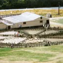
 Lands and Survey Dept enlarged the original MacKay woolshed after World War II. It was demolished for the Overbridge.