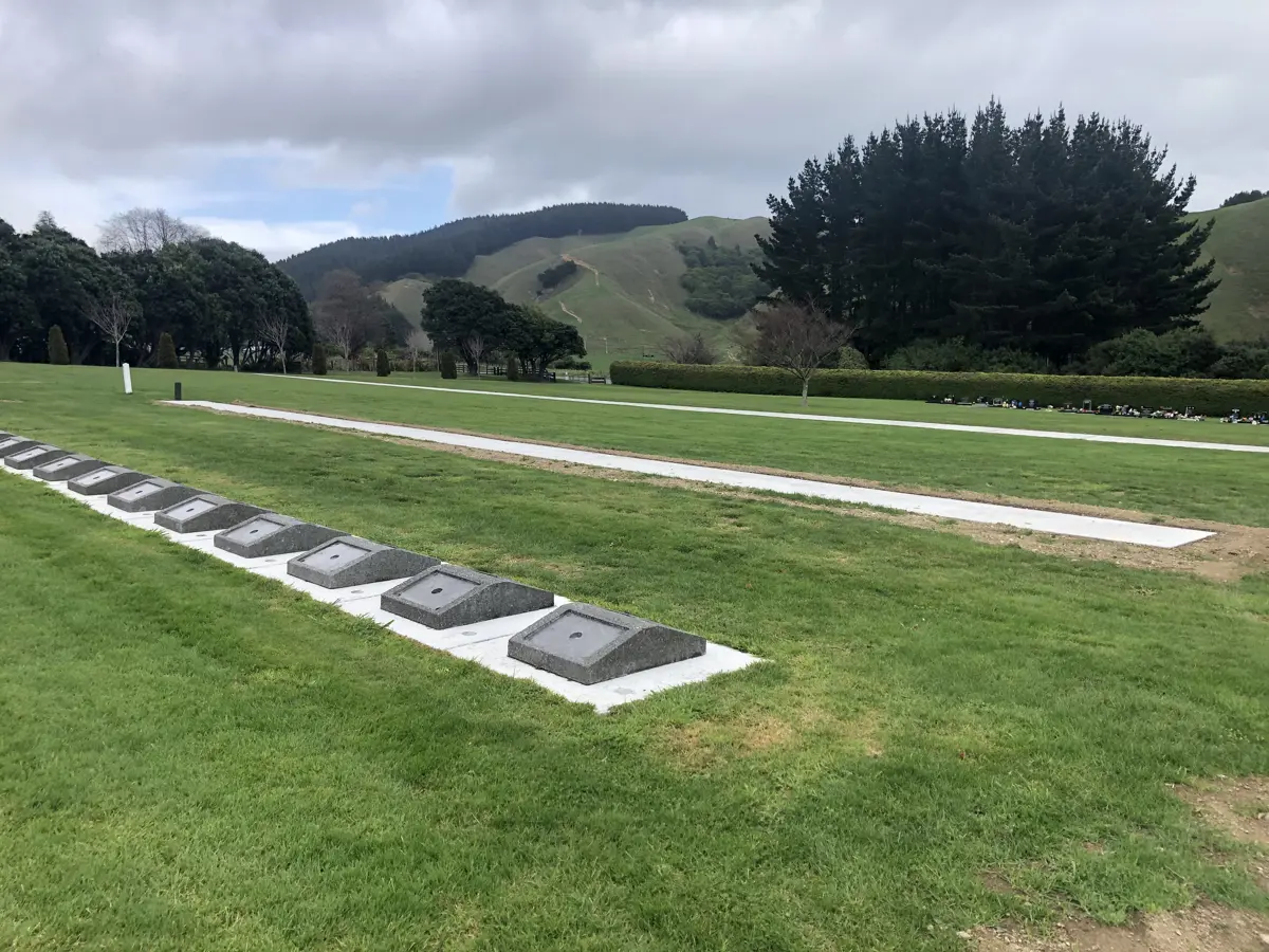
Awa Tapu Cemetery is set on 4.2 hectares of semi-rural land. Half of the land is currently developed with 2.1 hectares of hill land overlooking the lawn area.
- Hours: Gates open at dawn and close at dusk.
- Location: Valley Road, Paraparaumu.
- Plot map: Awa Tapu Cemetery Plot Map [PDF 2.34 MB]
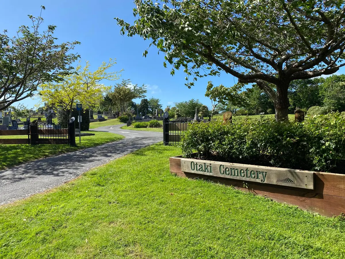
Ōtaki Cemetery, set on 3.9 hectares of semi-rural land, is the oldest cemetery in Kāpiti and the first to offer natural burials.
- Hours: Gates open at dawn and close at dusk.
- Location: End of Anzac Road, Ōtaki.
- Plot map: Ōtaki Cemetery Map [PDF 3.64 MB]
Paraparaumu Beach Cemetery is set on 1.2 hectares of urban land. Only second interments in existing family plots are available at this cemetery.
- Hours: Gates open at dawn and close at dusk.
- Location: Kāpiti Road, Paraparaumu.
- Plot map: Paraparaumu Beach Cemetery Plot Map [PDF 1.34 MB] (PDF, 1MB)
Waikanae Cemetery is set on 2.4 hectares of semi-rural land, including 0.5 hectares of native bush. The cemetery was the first in Kāpiti to have a crematorium.
- Hours: Gates open at dawn and close at dusk.
- Location: Ngarara Road, Waikanae
- Plot map: Waikanae Cemetery Map [PDF 3.14 MB]
Cemeteries database search
Access Council's cemetery records online. Explore records from 1896 to the present day, offering insights into our rich history and valuable information for those seeking to connect with their loved ones' resting places.
Our records include information from the following dates:
- Ōtaki Cemetery – from 1896
- Waikanae Cemetery – from 1909
- Paraparaumu Beach Cemetery – from 1917
- Awa Tapu Cemetery – from 1966.
Note: Styles of recordkeeping have altered over the years. We've attempted to make sure records are as accurate as possible. The records' historic nature however means there'll be some level of inconsistency and inaccuracy.