Updating our stormwater flood model
16 Jun 2026
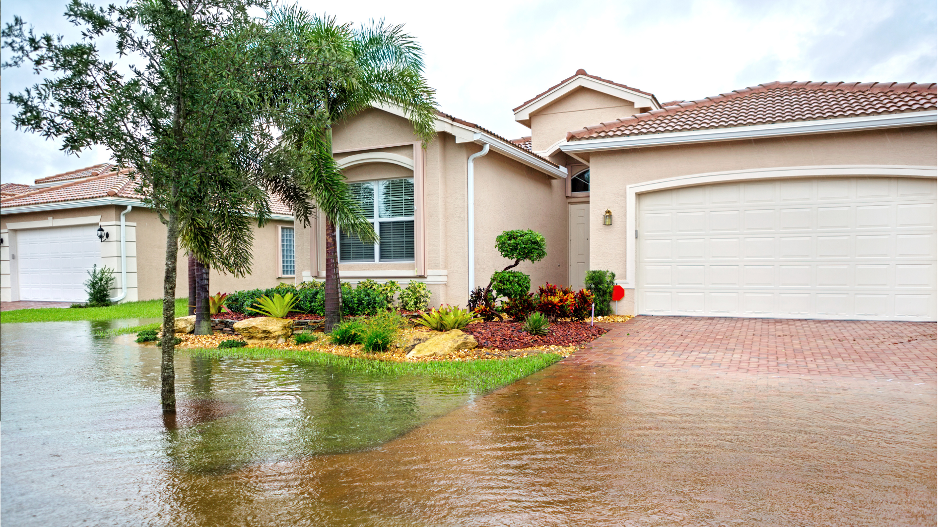
We’re nearing the completion of our updated districtwide stormwater flood model. This work is being progressed to ensure Council has robust, up-to-date flood hazard information to support its statutory obligations, including natural hazard disclosure, resource and building consent decision-making, infrastructure planning, emergency management, and future District Plan updates.
The work has taken longer than originally anticipated due to delays in receiving the updated LiDAR elevation data needed to improve the accuracy of the model.
The updated LiDAR has now been received and incorporated into the model. The model has also been updated to reflect the latest available stormwater network information, relevant building and development information, and feedback received through the recent community engagement process.
The model is being rerun. Once this is complete, it will go through a quality assurance process to check the model outputs and confirm that the results are suitable for use as Council’s updated stormwater flood hazard information. We will then contact those who provided feedback before releasing final model outputs are released more widely.
We will then prepare a set of flood mapping products to support public disclosure and assist with interpretation of the existing District Plan flood hazard provisions. These products will be made available through an online flood mapping portal and supported by plain-language interpretive material to help people understand what the maps show, how they should be used, and what their limitations are.
Subject to completion of the model rerun and quality assurance process, we expect the updated flood mapping portal and supporting material to be available around August 2026.
A future District Plan change will follow to formally update the planning framework for flood hazard management. Timing for that plan change has not yet been confirmed.
Major river flood model build
It’s important to distinguish this work from Greater Wellington Regional Council’s flood modelling programme.
- Kāpiti Coast District Council’s model focuses on local stormwater flooding, including rainfall, overland flow paths, local drainage networks, ponding, and urban catchment flooding.
- Greater Wellington Regional Council is responsible for major river flood modelling, including flood hazards associated with larger river systems such as the Ōtaki and Waikanae Rivers.
The two modelling programmes are related and need to be understood together, but they cover different parts of the flood hazard picture.
Greater Wellington is currently updating its major rivers flood modelling for the Ōtaki River, Mangaone Stream, Waitohu Stream, and Waikanae River. This modelling is intended to improve understanding of flood risk from the district’s larger river systems and will inform future flood hazard mapping, risk management, and planning processes in affected areas.
The current stage of GW’s work is incorporating the updated LiDAR and producing draft design flood extents. The next phase is expected to involve peer review of the model and community engagement with the draft flood maps which is expected to occur in August 2026.
We’ll continue to work with Greater Wellington to ensure the respective stormwater and major river flood modelling programmes are understood in an integrated way; while recognising they address different sources and mechanisms of flooding.