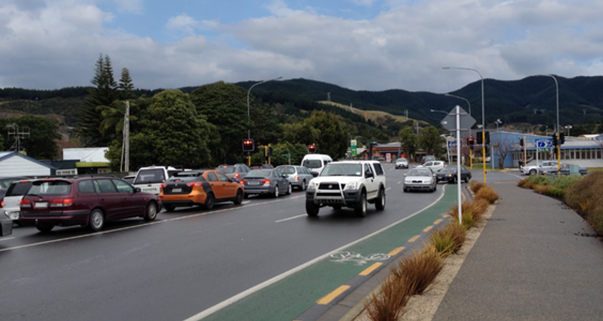
Speed
The Land Transport Rule: Setting of Speed Limits 2022 required Council to develop a speed management plan, including a 10-year vision for local safe and appropriate speeds, and a three-year implementation programme for applying safe and appropriate speed limits and associated speed related infrastructure.
Speed management plans take a holistic approach to network management, considering speed management alongside investment in infrastructure. Road-controlling authorities can set speed limits for roads in their jurisdictions, while also encouraging regional coordination.
The Kāpiti Coast Speed Management Plan 2023–33 [PDF 3.68 MB] was approved by Waka Kotahi in November 2023. This enables Council to set the dates for when new speed limits become operable.
Our speed management plan
The Kāpiti Coast Speed Management Plan has two parts:
- Part A covers what we’ll do before the end of 2027 – the high-benefit areas.
- Part B covers what we plan to do beyond 2027, subject to further community consultation. This includes:
- installing infrastructure along road corridors to reduce travel speeds and/or provide opportunities for pedestrians/cyclists to cross the road safely
- extending the existing buffer around schools to improve safety for students and the community, and encourage children to walk and bike to school safely.
We've adopted a staged approach to implementing the plan, focusing first on the high-benefit areas:
- streets around schools
- road corridors with an existing speed limit of 70km/h
- areas where there are high concentrations of active roads users, such as town centres, and marae.
We are not:
- changing speed limits on state highways, as Waka Kotahi looks after these
- changing speed limits along the entire length of urban connector roads like Kāpiti Road, Mazengarb Road, Te Moana Road and Mill Road.
Over the years we've received requests from the community for traffic-calming measures and lower speed limits for specific areas and individual streets. Where a request aligned with a high-benefit area, it's been included in the three-year implementation plan. Other areas could be considered for inclusion in future speed management plans.
Our speed management plan will be reviewed every three years, and we welcome ongoing community feedback about our road network.
Implementing our plan
You'll see the following happening on our road network between 2024–27. New speed limits are now effective around 13 Kāpiti Coast schools (including one marae) and on seven roads. The change is the first stage of implementing Council's Speed Management Plan, which was consulted on and adopted in 2023.
The plan aims to make our road network safe for people of all ages and abilities to be on or around. Please note times vary from school to school, depending on their hours of operation.
|
Area |
Proposed speed limit |
Times |
Status |
Map |
|
Kāpiti College |
30km/h variable/permanent |
8.30–9.15am |
Effective now |
Map [PDF 177 KB] |
| Kenakena School |
30km/h variable/permanent |
8.30–9.15am |
Effective now |
Map [PDF 443 KB] |
|
Ōtaki College |
30km/h variable |
8.30–9.15am |
Effective now |
Map [PDF 499 KB] |
|
Ōtaki School |
30km/h variable |
8.30–9.15am |
Effective now |
Map [PDF 451 KB] |
|
Our Lady of Kāpiti School |
30km/h variable |
8.30–9.15am |
Effective now |
Map [PDF 138 KB] |
|
Paraparaumu Beach School |
30km/h variable |
8.30–9.15am |
Effective now |
Map [PDF 155 KB] |
|
Paraparaumu College |
30km/h variable |
8.30–9.15am |
Effective now |
Map [PDF 475 KB] |
|
221 Valley Road to Waterfall Road |
60km/h permanent |
Effective now |
Map [PDF 140 KB] |
|
|
Raumati South School |
30km/h variable |
8.30–9.15am 2.45–3.30pm |
Effective now |
Map [PDF 749 KB] |
|
Riverbank Road |
50km/h and 60km/h |
Effective now |
Map [PDF 437 KB] |
|
|
St Peter Chanel School |
30km/h variable |
8–8.45am |
Effective now |
Map [PDF 228 KB] |
|
Te Horo School |
30km/h variable |
8.30–9.15am |
Effective now |
Map [PDF 324 KB] |
| Te Rā Waldorf School and Te Rāwhiti Kindergarten | 30km/h variable | 8.30–9.15am 2.45–3.30pm |
Effective now | Map [PDF 299 KB] |
|
221 Valley Road to Waterfall Road |
60km/h permanent |
Effective now |
Map [PDF 140 KB] |
|
|
Waikanae School |
30km/h variable |
8.30–9.15am |
Effective now |
Map [PDF 192 KB] |
|
Waitohu School |
30km/h variable |
8.30–9.15am |
Effective now |
Map [PDF 255 KB] |
|
221 Valley Road to Waterfall Road |
60km/h permanent |
Effective now |
Map [PDF 140 KB] |
|
|
94 Peka Peka Road to 62m east of Paetawa Road |
60km/h permanent |
Effective now |
Map [PDF 128 KB] |
|
|
Kapakapanui School |
30km/h permanent |
2024–27 |
Map [PDF 293 KB] |
|
|
Kāpiti School |
30km/h permanent |
2024–27 |
Map [PDF 380 KB] |
|
|
Ōtaki Town Centre |
30km/h permanent |
2024–27 |
Map [PDF 733 KB] |
|
|
Paekākāriki School |
30km/h permanent through the Village |
2024–27 |
Map [PDF 94 KB] | |
|
Paraparaumu School |
30km/h permanent |
2024–27 |
Map [PDF 497 KB] |
|
|
Raumati Beach School |
30km/h permanent |
2024–27 |
Map [PDF 127 KB] |
|
|
Raumati Beach Village |
30km/h permanent |
2024–27 |
Map [PDF 152 KB] |
|
|
Raumati South Village |
30km/h permanent |
2024–27 |
Map [PDF 728 KB] |
|
|
Te Horo Beach |
30km/h permanent |
2024–27 |
Map [PDF 603 KB] |
|
|
Te Kura-a-iwi Whakatupuranga Rua Mano |
30km/h permanent |
2024–27 |
Map [PDF 364 KB] |
|
|
Te Kura Kaupapa Māori o Te Rito |
30km/h permanent |
2024–27 |
Map [PDF 252 KB] |
|
|
Waikanae Beach Village |
30km/h permanent |
2024–27 |
Map [PDF 615 KB] |
|
|
Waikanae Town Centre |
30km/h permanent |
2024–27 |
Map [PDF 651 KB] |
Through the Speed Management Plan new speed limits are also in place on the following roads. These changes were required through the Land Transport Rule: Setting of Speed Limits 2022 which identified priority areas for safer speeds.
- Riverbank Road extension (70 to 60km/h)
- Valley Road South (80 to 60km/h)
- Brett Ambler Way (50 to 30km/h)
- Ngahina Street (50 to 30km/h)
- Iver Trask Place (50 to 30km).
Why variable or permanent?
Variable limits are installed on roads adjoining schools where significant increases in traffic (vehicle, cycle, and pedestrian) are generated immediately before and after school. During other periods, volumes of all traffic are low. Permanent limits are installed on roads adjoining schools where additional traffic (vehicle, cycle, and pedestrian) is generated continuously by adjacent land uses (for example, shops, transport hubs, or car parks).
- Speed Management Plan 2023–33 [PDF 3.68 MB]